Titre
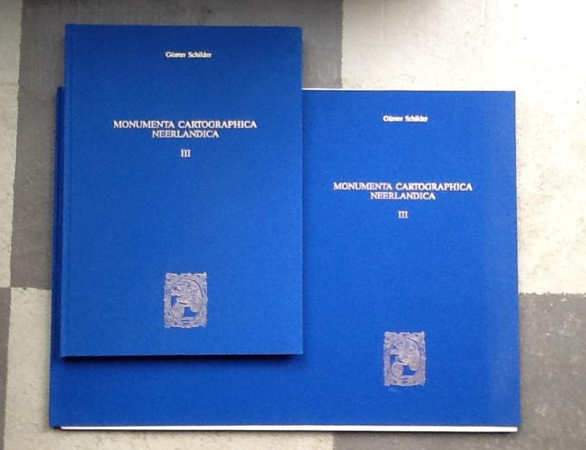
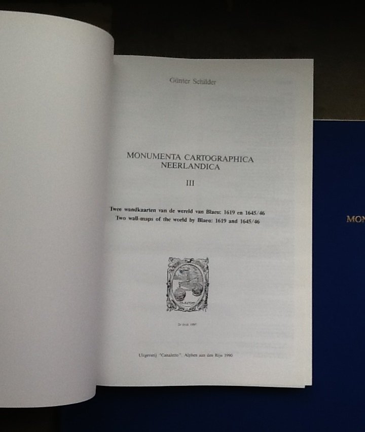
Monumenta Cartographica Neerlandica III
Auteur
Schilder, Günther
Langue
Meertalig
Éditeur
"Canaletto" Alphen aan den Rijn 2e druk 1997 9064695773 (Ned/Engels)
Prix
€ 101,80
Détails
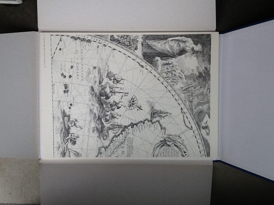
geb. hardcover in blauw linnen met goudopdruk 351pp + bijbehorende map met 41 facsimiles zie info
Plus d'informations
Monumenta Cartographica Neerlandica III (1990)
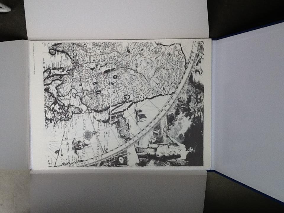
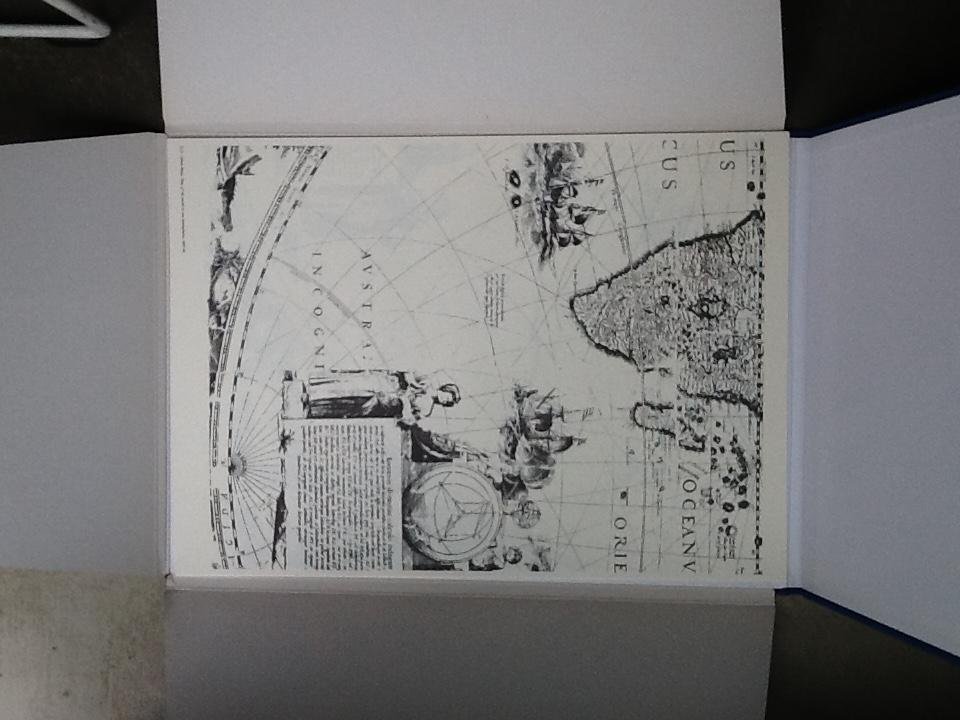
Two wall-maps of the world by Blaeu: 1619 and 1645/56
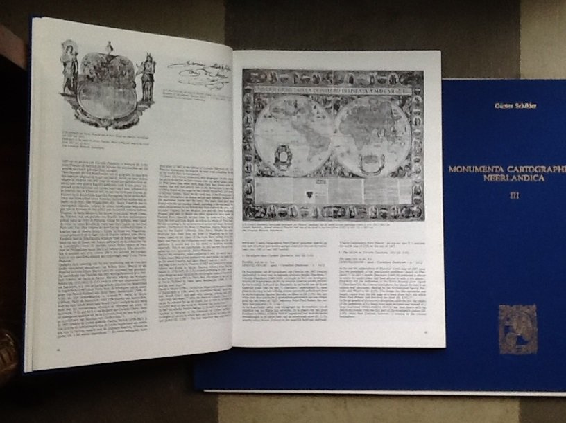
Is larger than volumes I and II combined. It is devoted entirely to the wall map of the world in two hemispheres published in 1619 by Willem Jansz, Blaeu and reissued with alterations by his son Joan in 1645-46. Both versions are part of a rich cartographic tradition in Amsterdam in the first half of the seventeenth century that satisfied an immense demand for global information Testimony to the fragility of wall maps, thousands of impressions of both maps were originally printed but only one example of each state is extant, both at the 'Prins Hendrik' Maritime Museum in Rotterdam.
Following the fall of Antwerp in 1585, the economic center of the Netherlands moved to the northern Netherlands, particularly Amsterdam Amsterdam's growth was stimulated by several factors: to record exploration associated with the northeast passage, the East and West Indies, and South America; to disseminate news of the war with Spain; and to document changes in the domestic cultural landscape, particularly hydrographical. To achieve these aims, the city was able to capitalize on the new pool of geographical talent in the form of religious refugees from the southern Netherlands, particularly Cornelis Claesz, Petrus Plancius, Petrus Bertius, and Pieter and Abraham Coos.
With this backdrop in place, Schilder provides a short but very useful biography of Blaeu, who started out as Willem Jansz. but decided to adopt his father's sobriquet (Blue Willem) as the family name to avoid confusion with Jan Jansz. who had moved in next door, Willem Jansz. thus became Willem Jansz, Blaeu around 1622. Blaeu's appointment as official mapmaker to the Dutch East India Company (VOC) on the death of Hessel Gerritsz in 1632 sharpened his competitive edge: he now had the complete archive of maps and charts of the VOC at his disposal. But his competitors were never entirely
As further background. this volume contains a description of thirteen wall maps of the world published in Amsterdam before 1619 with all their editions, highlighting the importance of the radical Calvinist Petrus Plancius's map of 1592 in eighteen sheets. Plancius's map was the basis of many Late sixteenth-century wall maps - Dutch and Italian - and Schilder provides a very useful genealogical stemma of its influence.
The core of this third volume is a detailed description of the two versions of the Blaeu wall map (1619 and 1645/46). Sources used for iconography as well as geography are presented. Between Willem Blaeu's version of 1619 and Joan Blaeu's second edition (1645/46). there were key discoveries and advances in geographical knowledge: the fictitious northwest coast of America is omitted, and the results of Abel Tasman's two voyages (1642-43 and 1644) in Australia and New Zealand - as well as those of his predecessors - have been included. But not all the geographical changes to the map were 'progressive:' the representation of California as an island in the second version appears alongside the more timely representation of the momentous explorations in the southern hemisphere. Nor should the power of decoration in the market place he underemphasized. as Schilder's lengthy general excursion into the development of decorative borders on Dutch wall maps before 1619 demonstrates: after the Peace of Munster, which ended the Thirty Years' War and changed many national boundaries and names, Joan Blaeu put out an entirely new map of the world on 21 copper plates in 1648, but demand for the geographically obsolete 1645-46 map continued simply because the 1648 map did not have decorative borders.
Contents of Volume III
Introduction
I. Amsterdam during the time of Willem Jansz [Blaeu]
II. Wall-maps of the world published in Amsterdam before 1619
III. The wall-map of the world in two hemispheres by Willem Jansz. [Blaeu] of 1619
a. History and description
b. The development of decorative borders on Dutch wall-maps before 1619
c. The decorations belonging to the wall-map of the world of 2619 and 1645/46
d. The geographical contents
IV. The revised edition of the wall-map of the world in two hemispheres by Joan Blaeu of 1645/46
a. History and description
b. The geographical changes Appendix: Transcription of the Latin text, accompanied by Dutch and English translation.
FACSIMILES
1. The wall-map of the world by Willem Jansz. [Blaeu], 1619 (10 sheets)
2. The wall-map of the world by Joan Blaeu, 1645/46 (31 sheets)
Images
hasselman
Breda 

Levering binnen Nederland ( 3,90 euro verzendkosten )
Levering binnen de EU is mogelijk bij bestellingen vanaf 15 euro plus bijkomende internationale verzendkosten.
Afhalen is niet mogelijk.
- Tous les livres sont en état complet et normal, sauf indication contraire. De petites imperfections comme une page collée ou un nom sur la feuille ne sont pas toujours mentionnés
- Vous gérez directement cette commande avec hasselman
- Après votre commande vous et hasselman recevrez une confirmation par e-mail. Dans l'e-mail que vous pouvez trouver, vous pouvez trouver le nom et l'adresse de hasselman
- L'acheteur paie les frais de livraison, sauf accord contraire
- hasselman peut demander un prépaiement
- Boekwinkeltjes.nl essaie de rapprocher les acheteurs et les vendeurs. Boekwinkeltjes.nl n'est jamais impliqué dans un accord entre l'acheteur et le vendeur. Si vous avez un différend avec un ou plusieurs utilisateurs, vous devez le réparer vous-même. Vous indemnisez Boekwinkeltjes.nl de toute réclamation.
